Cornwall · PL15
Drone inspection services in Launceston
A hilltop former county town with the Pennygillam and Newport estates on the A30 ground and slate hung buildings in the walled core.
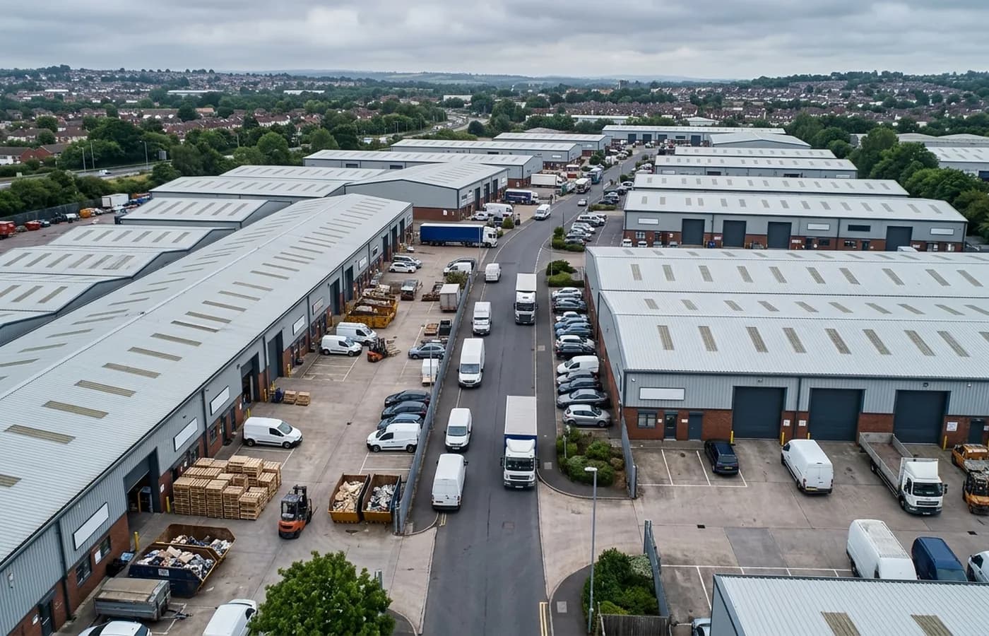
Pennygillam, Newport and the A30
The industrial estates sit on the flatter ground by the A30 and carry the town's manufacturing, distribution and trade stock. They are conventional in construction and unconventional in exposure, because this is high open ground catching weather off both Bodmin Moor and Dartmoor.
That double exposure is worth taking seriously. Wind arrives from more than one quarter with real force, and a building detailed for a single prevailing direction has a weak side it was never designed to have. On a large-span roof the practical outcome is uplift damage at whichever verge happens to face the storm that particular week.
The estates are also where most of the town's employment sits, so an unplanned roof failure has a business cost well beyond the repair. That is usually the argument that justifies putting these buildings on a schedule rather than waiting.
Slate hanging as a weather response
In the walled medieval core the commercial buildings are Georgian fronted, slate hung and rendered, and the slate hanging exists for a reason: wind-driven rain from the south-west is the defining local condition and a hung elevation sheds it in a way a rendered one does not.
That makes the elevations a maintenance item in their own right. Nail sickness works through a hung wall gradually, slates slip in ones and twos, and by the time the pattern is visible from the street a substantial area may need re-hanging rather than patching. The camera picks up individual missing slates and the spread around them, which is the information that decides which of those two jobs it is.
The steep slopes below the castle make conventional access difficult on several of these streets, so the alternative to an aerial record is usually no record at all.
What a visit covers in a morning
A typical visit here would cover an estate unit or two and, if the same owner holds something in the centre, the town building as well. The two are ten minutes apart and could not be more different to inspect.
The output is one report with the buildings written up separately, because a hung elevation on a Georgian frontage and a profiled sheet roof on the A30 share nothing except an owner and a budget.
The castle, the medieval walls and the historic core also mean a concentration of designated buildings in commercial use, where any physical access equipment brings consent questions and cost with it. For those, the practical value of a camera that touches nothing is not just convenience, it is that the inspection can actually happen. A record made without scaffolding, ladders or fixings is straightforward to justify to a conservation officer, which matters when the alternative is a survey that never gets commissioned.
Behind the inspection
What a Launceston site is actually buying
CAA registered
A registered operator with an Operator ID and a Flyer ID held, which is the baseline any commercial client should be asking for and the first thing to check on a quote.
A2 Certificate of Competency
The A2 CofC, not a GVC. That decides how close the aircraft may legally be flown to people and property, so it decides what can be inspected and how, and it is set out plainly rather than buried.
Insured with Coverdrone
Commercial cover through Coverdrone. A certificate can be sent across for a site file or a contractor approval pack before the visit is booked.
Report within 48 hours
Photographs and a written report per asset within 48 hours of the flight, so the file is closed while the visit is still fresh in everyone's mind.
Nearby
Also covered around Launceston
See how a visit runs
Request a site quote in Launceston
Send the site address and the assets you want covered. Sam Hembury will come back with a fixed price, the paperwork, and the next slot the weather allows.