Devon · EX31-EX32
Drone inspection services in Barnstaple
North Devon's commercial hub, with Roundswell high and exposed, Pottington low and wet, and Atlantic weather arriving straight up the Taw.
Roundswell, Pottington and Seven Brethren
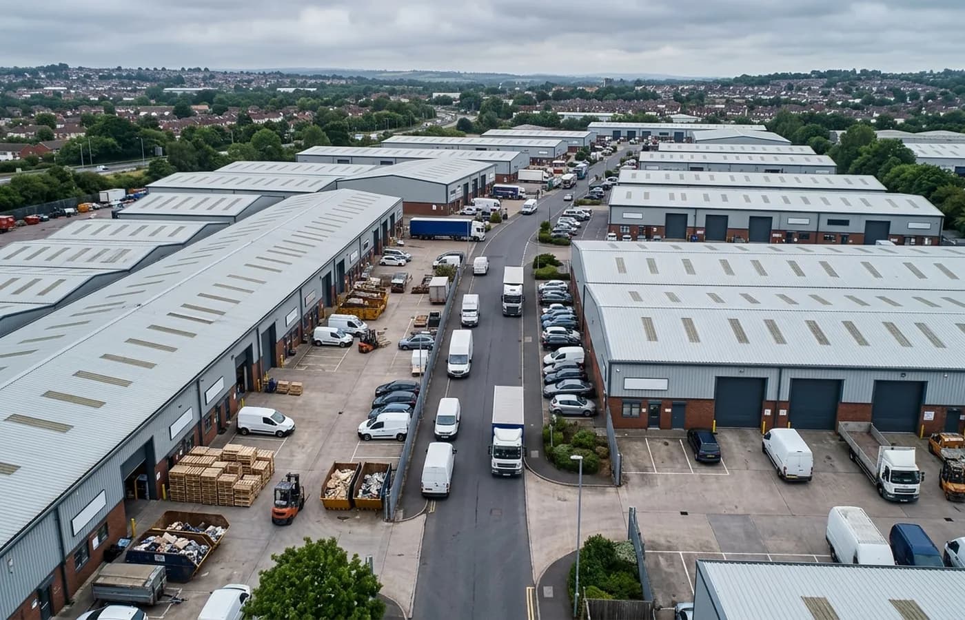
Barnstaple carries the commercial weight of the whole of North Devon, and its estates reflect that. Roundswell on the higher ground south-west of the town is the newest and the busiest, with large distribution and retail sheds and a good deal of trade counter stock. Pottington and Seven Brethren sit on the low ground beside the Taw and are older, with more corrugated and asbestos cement roofing still in service and more of the awkward legacy detailing that comes with buildings adapted repeatedly.
The height difference between them is not trivial. Roundswell sits exposed on the ridge and takes wind loading the riverside estates do not. Pottington sits low and wet and takes the damp instead. Two buildings of identical construction, four miles apart, will not fail the same way or at the same speed.
For an owner with property on both, that is the single most useful thing an aerial record establishes, because it stops the maintenance budget being allocated evenly across a portfolio when the risk is not evenly spread.
Prolonged wetting rather than storm damage
The town is open to Atlantic weather coming up the Taw estuary from the west with very little to break it, rainfall is high, and the main agent of decay is prolonged wetting rather than any single event. Roofs here simply do not get long dry spells, and everything that depends on drying out between showers suffers for it.
Practically that means organic growth on north-facing slopes, sustained moisture in gutter silt, corrosion progressing steadily at every joint, and coatings chalking and failing earlier than their nominal life. None of it is spectacular and all of it is cumulative.
It also means the inspection is looking for pattern rather than incident. The question on a North Devon commercial roof is rarely what broke; it is which parts of it are wet for longest and what that has done since the last time anybody looked.
Access on the riverside sites
The low ground beside the Taw is soft, tidal in places, and often tight for the kind of vehicle a mobile platform arrives on. Several riverside units back directly onto water or onto the Tarka Trail, which limits where a cordon can sensibly go and, more importantly, limits where a person could be positioned at all.
Flying from a small area of hard standing solves the access half of that. The public path question is handled by choosing a take off position and a flight line that keeps the required distance from anybody using it, agreed before the day rather than improvised on it.
Behind the inspection
What a Barnstaple site is actually buying
CAA registered
A registered operator with an Operator ID and a Flyer ID held, which is the baseline any commercial client should be asking for and the first thing to check on a quote.
A2 Certificate of Competency
The A2 CofC, not a GVC. That decides how close the aircraft may legally be flown to people and property, so it decides what can be inspected and how, and it is set out plainly rather than buried.
Insured with Coverdrone
Commercial cover through Coverdrone. A certificate can be sent across for a site file or a contractor approval pack before the visit is booked.
Report within 48 hours
Photographs and a written report per asset within 48 hours of the flight, so the file is closed while the visit is still fresh in everyone's mind.
Nearby
Also covered around Barnstaple
See how a visit runs
Request a site quote in Barnstaple
Send the site address and the assets you want covered. Sam Hembury will come back with a fixed price, the paperwork, and the next slot the weather allows.